
Find the rough tracks on an enduro bike
You've got a road registered enduro bike and a free day. Pick Enduro, and the app plans along the rough tracks instead of the tar.
1Open Menu, then Route
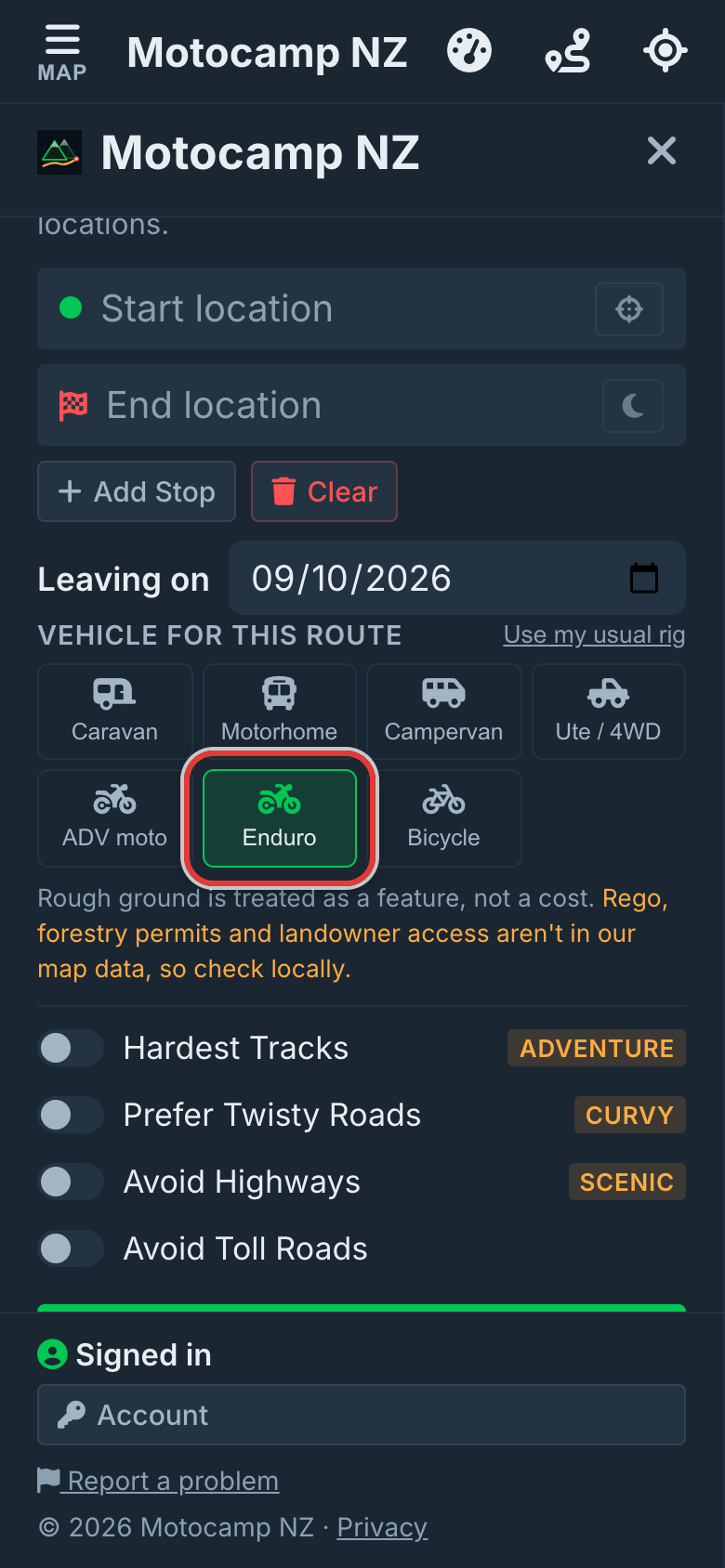
Tap Menu, then the Route tab. Scroll down to Vehicle for this route. Tap Enduro. The app now plans every route for a road registered enduro bike. It stays picked until you tap another vehicle.
2Read the note under it
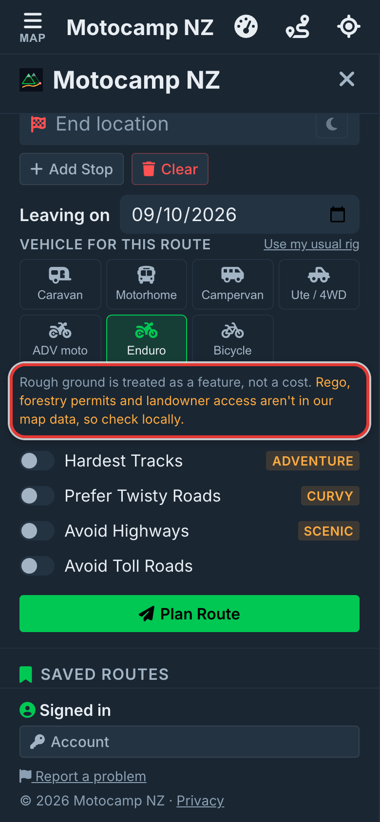
A short note sits under the vehicle buttons. It says rough ground is treated as a feature, not a cost. It also says rego, forestry permits and landowner access aren't in our map data. Check those where you're going.
3Turn on Hardest Tracks
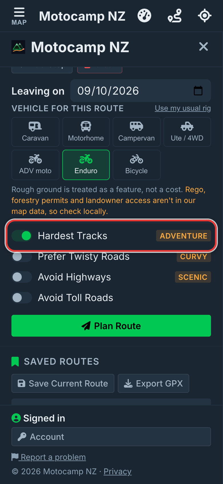
Under the vehicle buttons, Prefer Gravel Roads now reads Hardest Tracks. Tap it to turn it on. With it off, Enduro already picks rough tracks first and keeps off motorways. With it on, the route goes even further from graded roads. It can be up to three times as long as the usual route.
4Plan Route and read the notes
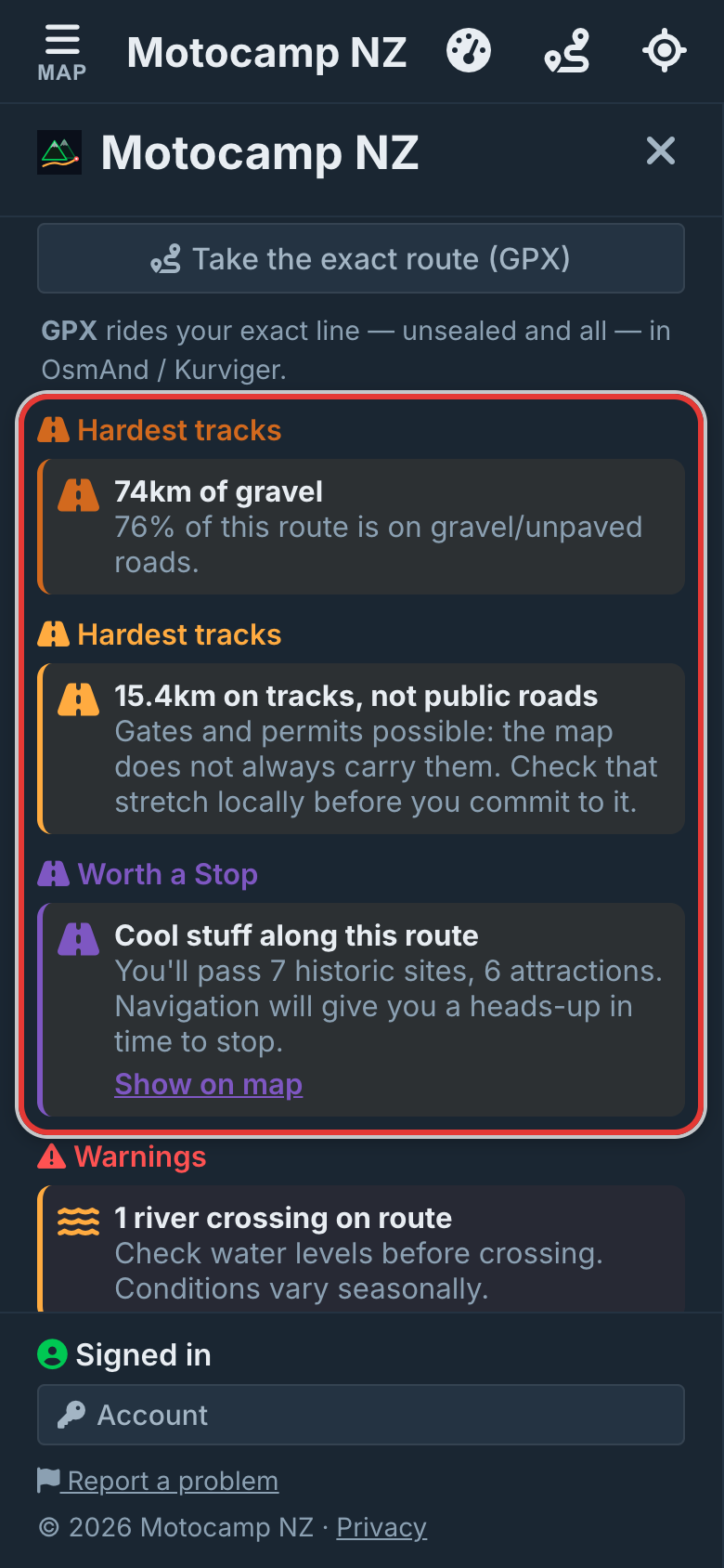
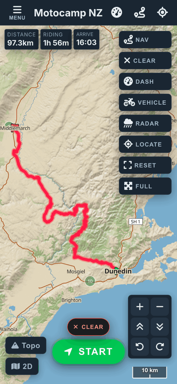
Type a start and an end, then tap Plan Route. We used Dunedin to Middlemarch. Look at the Route Summary at the top. Hardest tracks says how many kilometres are gravel. Another note says how much is on tracks, not public roads. Gates and permits are possible there.
5See it on the map
Close the Menu to see the whole line. The topo map shows the hills, the creeks and the bush around it. Tar only shows up where it links one track to the next. Pinch to zoom in on any part before you head out.
6On a big adventure bike instead
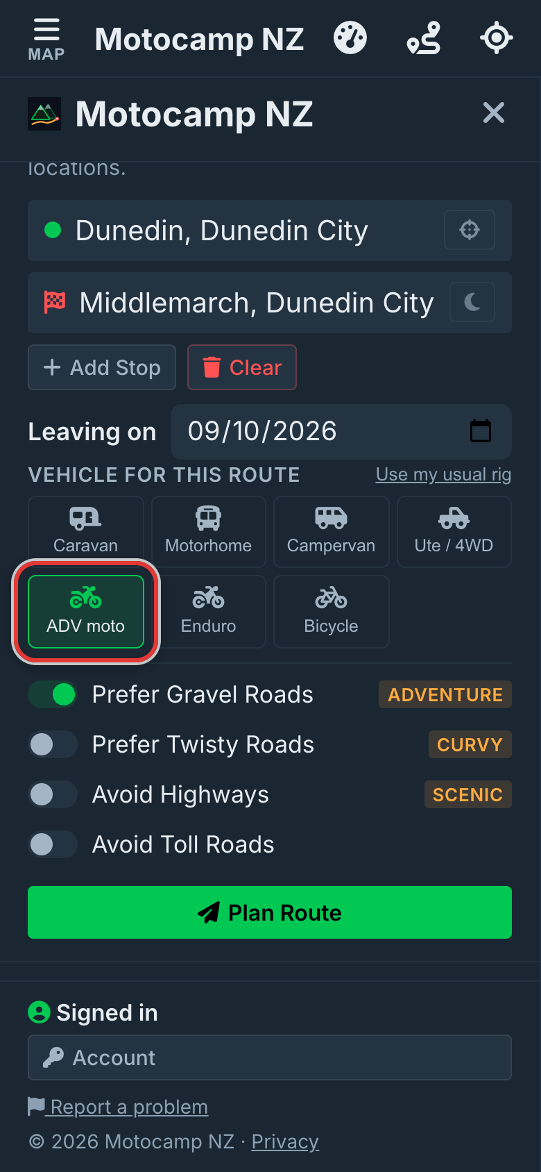
Got a big adventure bike, not an enduro? Tap ADV moto instead. It leans to good gravel and forest roads. Hard tracks are a last resort for it. Its switch is called Prefer Gravel Roads again.
Good to know
Hardest Tracks is a wish, not a promise. No rough tracks nearby, or a detour that's too long? Then you get the usual route and a note. A path is only used when the map says motorbikes may use it, so walking tracks are left out. The map doesn't always show gates, permits or private land. Check any track locally before you head out.
Also in the app: maps that work with no signal, campsites and huts, and Plan with AI. It plans routes for eight kinds of vehicle, from an enduro bike to a motorhome.